Education
Educational Map
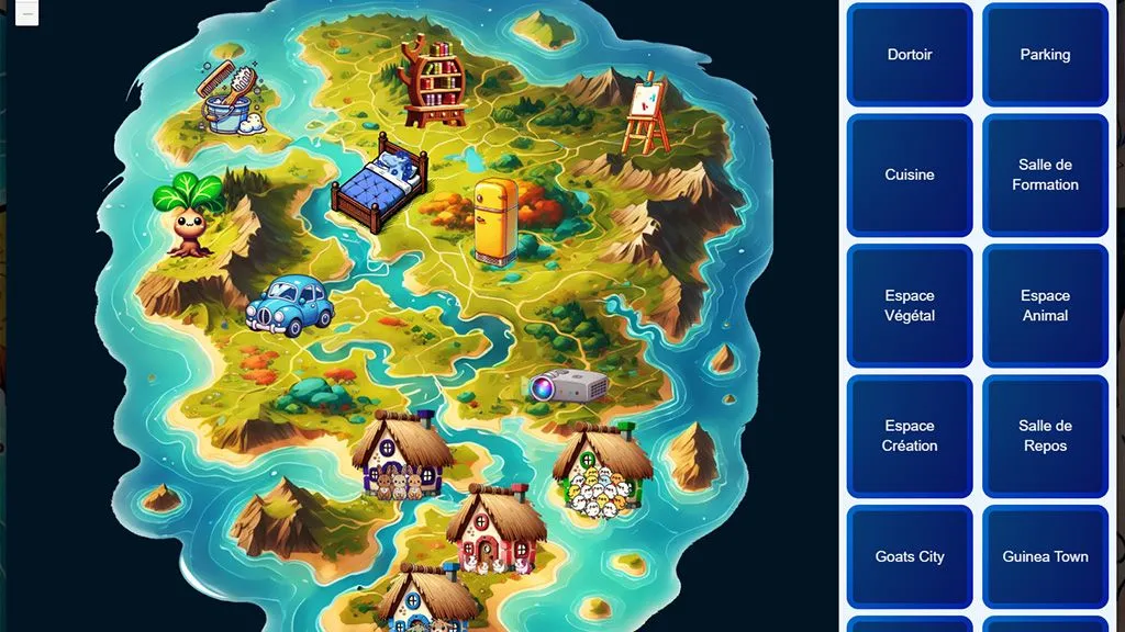
An interactive map of an associative institution, designed for younger visitors and for mobile.
- Type
- Interactive map
- Platform
- WordPress site, mobile and desktop
- Audience
- Younger visitors
- Format
- General map and zooms
About the project
An interactive map that shows, with pictures, how an associative institution is organised. It is reached from a WordPress site, and aimed mostly at younger visitors.
The interface has to stay simple and easy to use on mobile. A second map zooms in on each place to show its details.
Features
-
A general map
A classic map showing every point of interest around the institution. Each place has a short description.
-
Zoom maps
A button on the general map opens the detailed view of a place, so you can explore it without getting lost.
Built with
- Vue 3
- Leaflet
- WordPress